Interactive Map of the Great Wall of China
This interactive map of the Great Wall of China plots 42,073 located heritage records from the 43,809-record 2012 national survey across 15 provinces and 11 dynasties — walls, passes, beacon towers, and trenches. Static maps by dynasty ↓
Great Wall heritage data summary
This interactive map plots 42,073 located Great Wall heritage records from the 43,809-record 2012 national survey across 15 Chinese provinces and 11 dynasties. The survey records are grouped into five resource types:
- Wall · 墙体: 10,073 records
- Structure · 单体建筑: 29,558 records
- Pass & Fortress · 关堡: 2,223 records
- Border Trench · 界壕壕堑: 1,769 records
- Associated Relic · 相关遗存: 186 records
Dynasties represented on the map:
- Qin · 秦
- Han · 汉
- N. Wei · 北魏
- E. Wei · 东魏
- N. Qi · 北齐
- N. Zhou · 北周
- Sui · 隋
- Liao · 辽
- Jin · 金
- Ming · 明
- Unknown · 朝代不明
Provinces and autonomous regions covered:
- 北京市
- 天津市
- 河北省
- 山西省
- 内蒙古自治区
- 辽宁省
- 吉林省
- 黑龙江省
- 山东省
- 河南省
- 陕西省
- 甘肃省
- 青海省
- 宁夏回族自治区
- 新疆维吾尔自治区
Related pages: Great Wall architecture and structure types, where the Great Wall is, stop by stop, frequently asked questions, and data sources and methodology.
42,073 Records · 11 Dynasties
长城遗产数字舆图
TYPE
DYNASTY
PROVINCE
LEGEND
Great Wall Maps by Dynasty
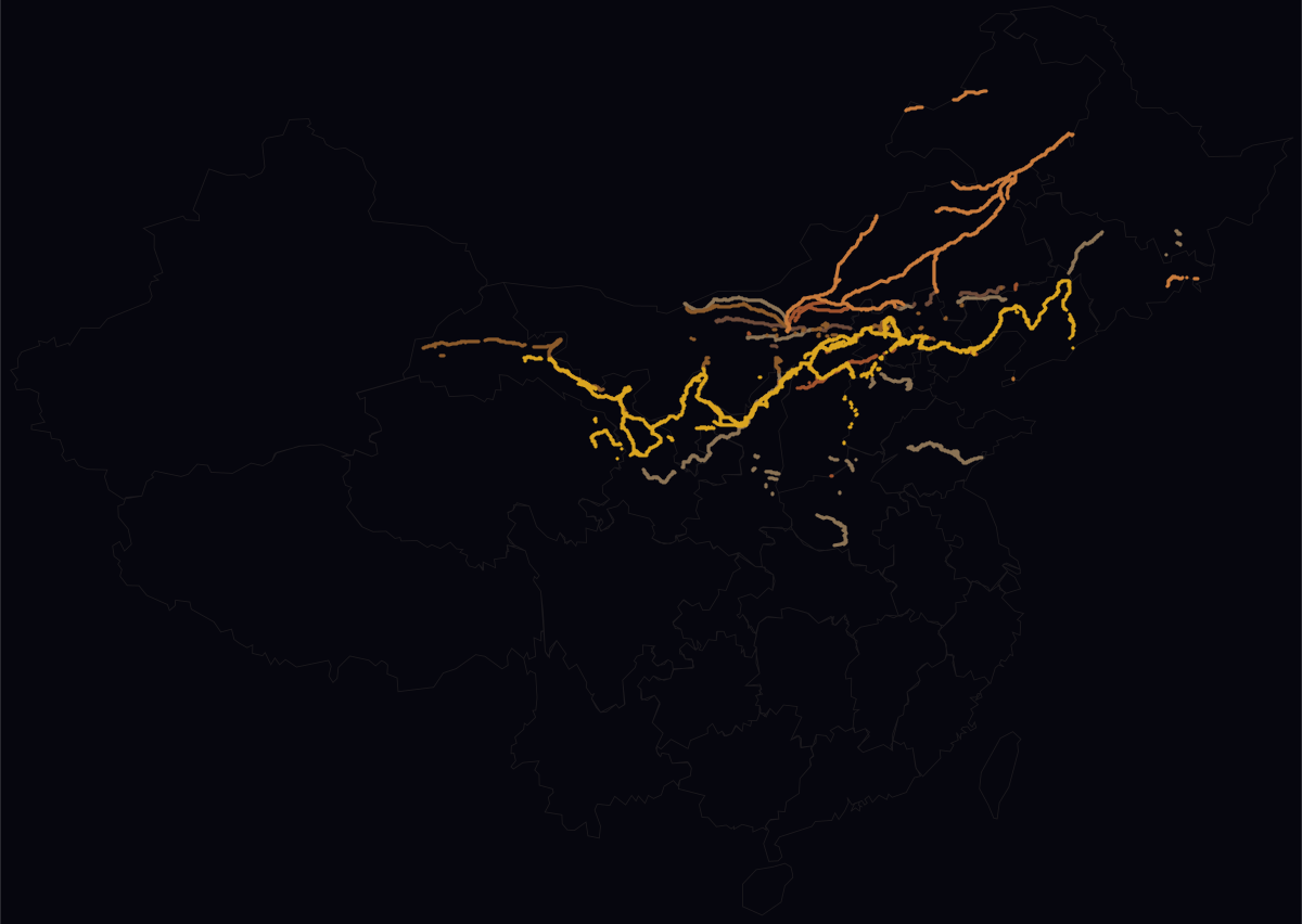
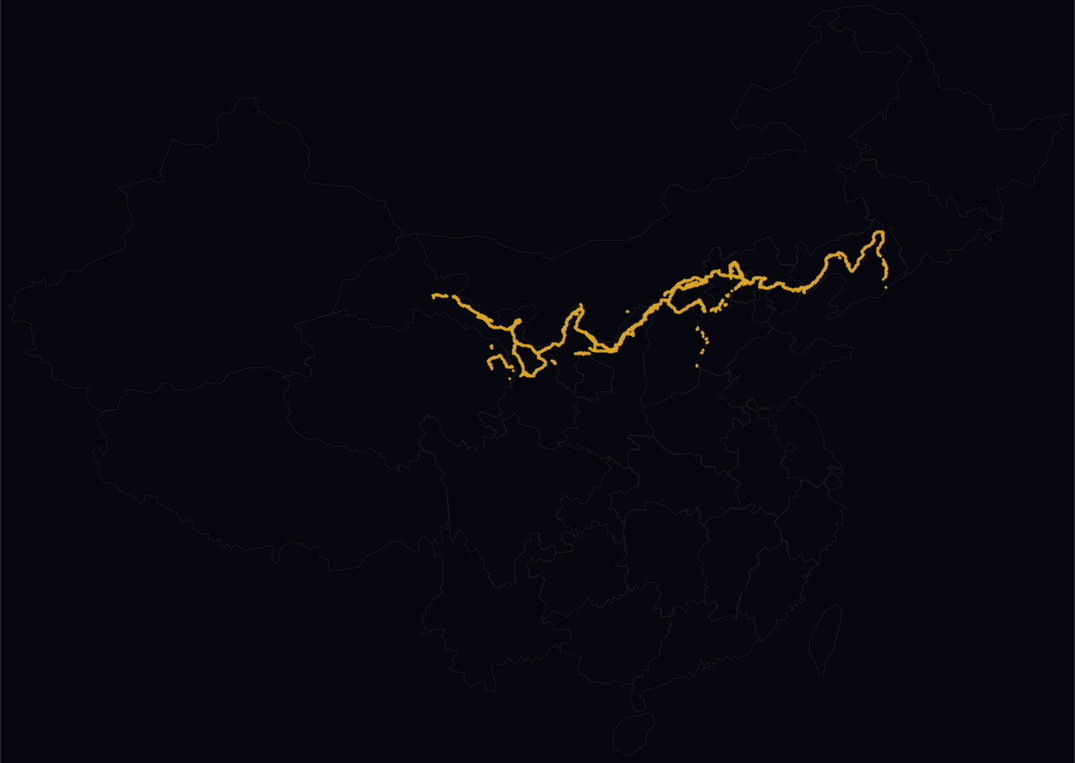
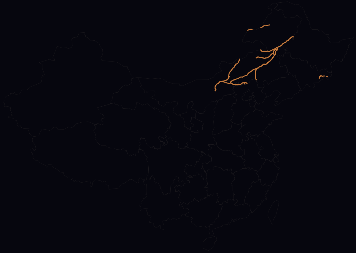
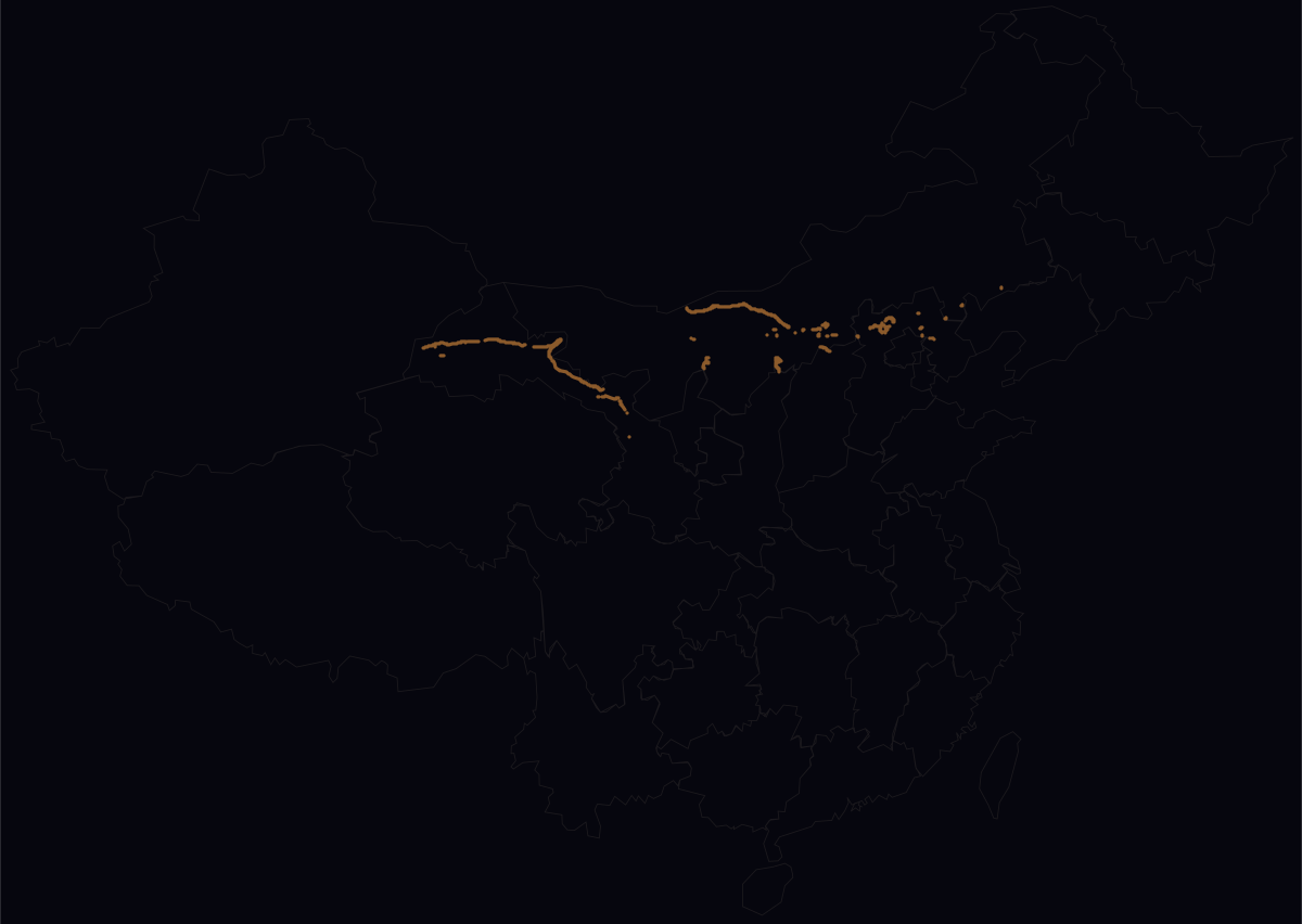
The Great Wall is not one line but many overlapping systems, built over two thousand years. These static maps are drawn from the same dataset as the interactive map above — the 42,073 located records of China's 2012 national survey — with each dynasty's walls and trenches rendered in the same colors the live map uses. Click a dynasty for its full guide, or scroll the live map above to explore every individual segment, tower, and pass.
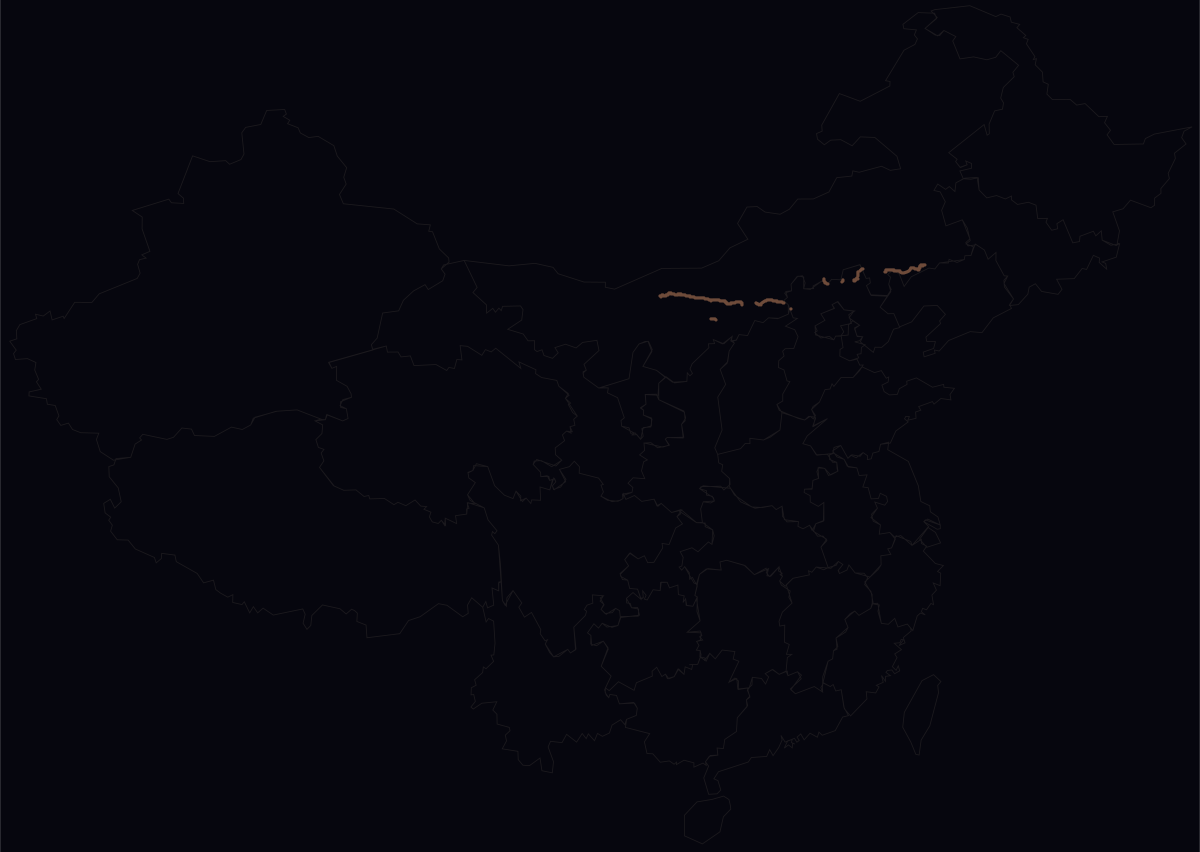
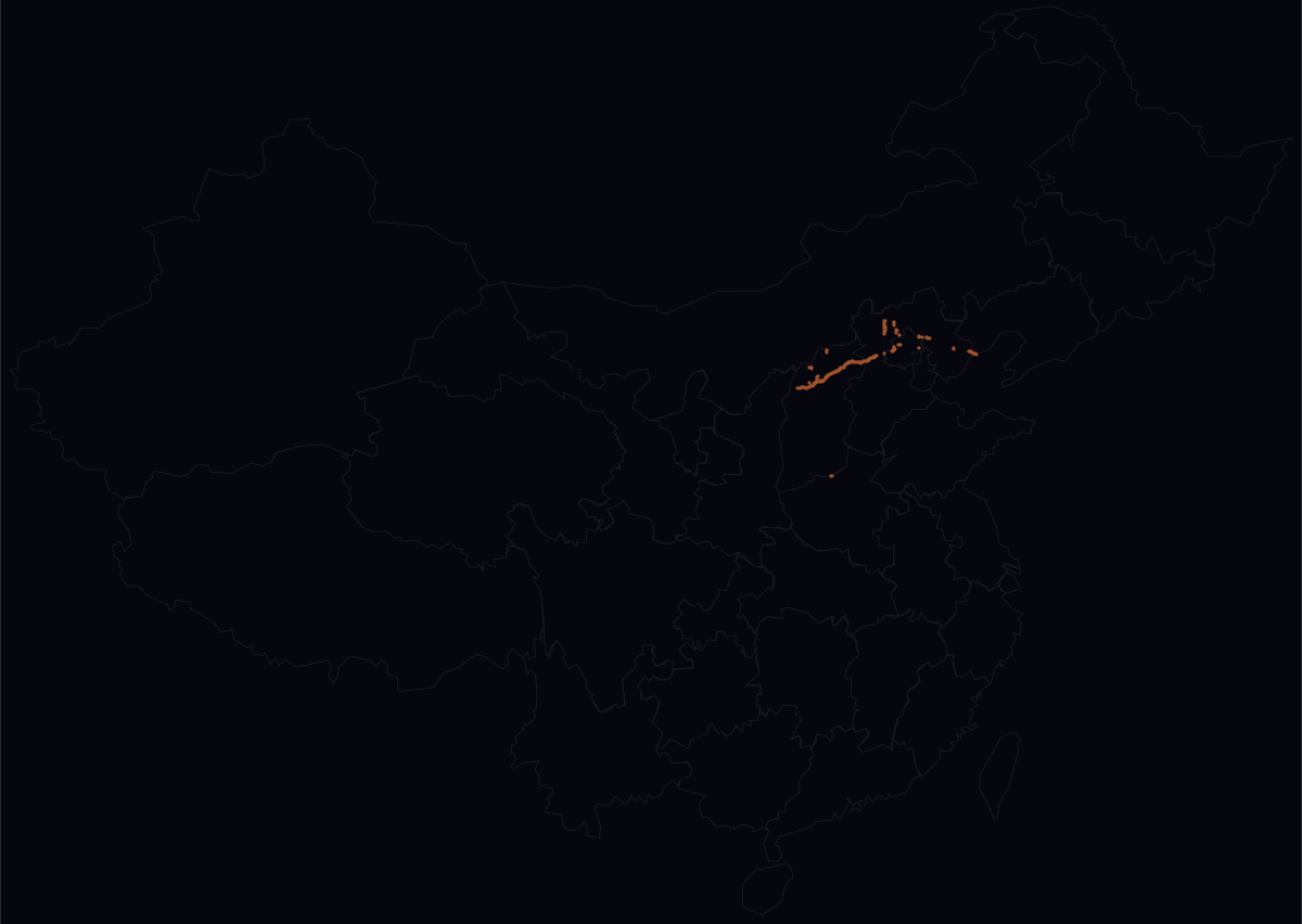
How to read these maps
Each line is a located wall or trench record from the survey, drawn in its dynasty's color — from the dark browns of the Qin and Han systems to the bright gold of the Ming. The maps show constructed lines only; the interactive map above adds every tower, pass, and relic, and encodes each segment's preservation grade in its line style, from solid (well preserved) to dotted (vanished).
For the story behind the lines, see the history of the Great Wall dynasty by dynasty, the full answer to how long the Great Wall really is, or what each structure type means.
Great Wall map questions, answered
Four questions people ask alongside “great wall of china map” — answered from the same 43,809-record 2012 national survey behind this map.
How long is the Great Wall on a map?
The official surveyed length is 21,196.18 km (13,170.70 mi), announced by China's National Cultural Heritage Administration in 2012. This map plots 42,073 located records from that survey; the Ming wall alone — the brick wall of the postcards — measures 8,851.8 km. Full length breakdown →
Where does the Great Wall start and end?
Not at Shanhaiguan and Jiayuguan, as is often said: surveyed remains reach roughly 2,000 km west of Jiayuguan into Xinjiang and 1,000 km east of Shanhaiguan to the Yalu River. For the Ming wall only, Jiayuguan is the rough western terminus and Hushan near Dandong is the easternmost point. Start and end, stop by stop →
Which province has the most Great Wall?
Inner Mongolia — its Great Wall resources account for nearly one-third of the national total, much of it the Jin dynasty's border trenches (jièháo) rather than brick wall. The Jin trench system →
Which part of the Great Wall is best preserved?
The most-visited, best-restored sections cluster near Beijing: Badaling is the most visited and easiest to reach; Mutianyu is fully restored with 22 watchtowers; and Jinshanling is among the best-preserved and ideal for hiking. Farther out, Shanhaiguan meets the sea in the east and Jiayuguan fortress stands in the west. Visit the sections →